Conservation: Saving Wildlife and Habitats Worldwide


From the Zoo in Washington, D.C., to our research campus in Front Royal, Virginia — and field sites across the globe — the Smithsonian’s National Zoo and Conservation Biology Institute (NZCBI) leads international efforts to save wildlife species from extinction, conserve ecosystems, and train the next generation of conservation scientists and practitioners.
We Save Species and Habitats
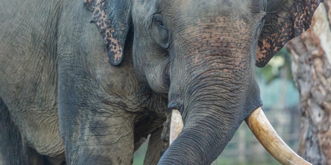
Saving Asian Elephants ›
Smithsonian scientists are advancing elephant care and reproduction at the Zoo while working with partners to protect wild populations in Asia.

Saving Giant Pandas ›
Our researchers are refining techniques to help giant pandas thrive in human care. Their studies also guide habitat restoration in China.

Saving Amphibians ›
In Panama, the Smithsonian operates a conservation center to restore wild amphibian populations while safeguarding them from a deadly disease.
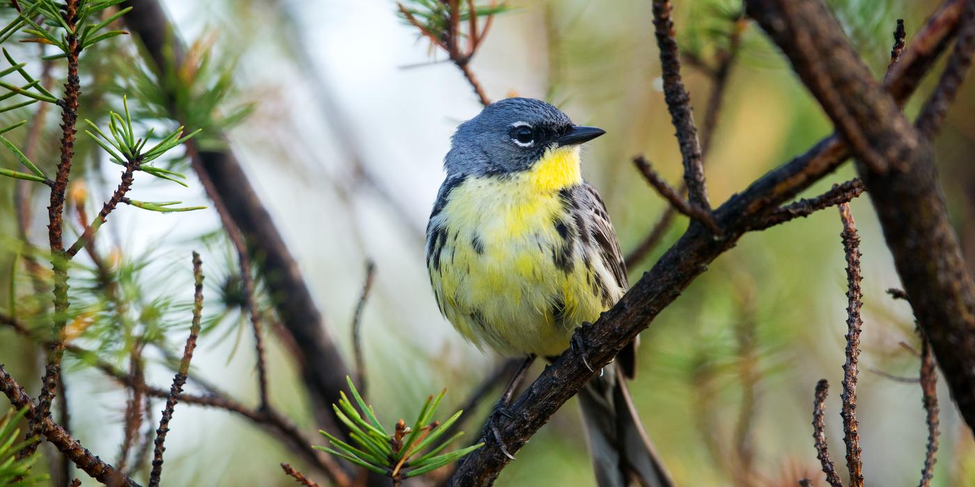
Saving Migratory Birds ›
From Arctic tundras to tropical forests, migratory birds are tightly linked to Earth's ecosystems. Smithsonian researchers are working across hemispheres to raise awareness and protect critical habitats.

Research Centers and Global Programs
Our conservation work extends across five specialized science centers and four international programs, linking Smithsonian researchers with partners worldwide to protect biodiversity.
Latest in Conservation News

Smithsonian Celebrates Birth of Four Cheetah Cubs ›
Keepers at the Smithsonian's National Zoo and Conservation Biology Institute in Front Royal, Virginia are celebrating the births of a litter of cheetah cubs.

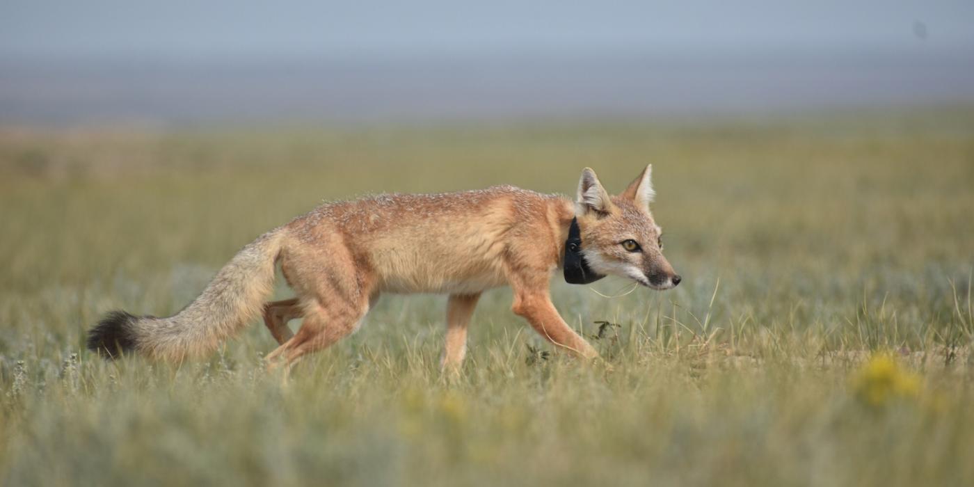
Study: Small Herbivores Have a Big Impact on Grassland Health ›
New Smithsonian research indicates prairie dogs and grasshoppers have some of the largest impacts on grassland nutrient cycles.
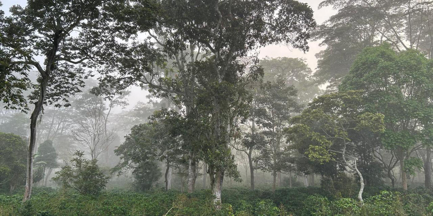
Smithsonian Bird Friendly® Celebrates 25 Years ›
What started as a way to protect migratory birds has grown into a global effort that safeguards tropical forests, conserves wildlife, and helps farmers build more resilient livelihoods.

Climate Data Can Be Used to Map, Predict Amphibian Disease ›
Thirteen years of climate data helps scientists understand the spread of a deadly amphibian disease and predict potential outbreaks.
Study: New DNA Tool Identifies Animals by Their Droppings ›
Research from Smithsonian scientists shows that a new method of analyzing fecal samples offers improvements on traditional wildlife monitoring.
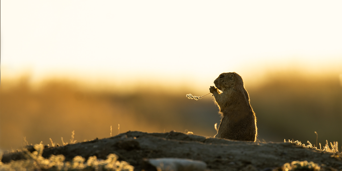
Study: When Prairie Dogs Call, Birds Are Eavesdropping ›
Some birds listen in on prairie dog alarm calls to learn when predators are close, according to a new study from our grassland science team.
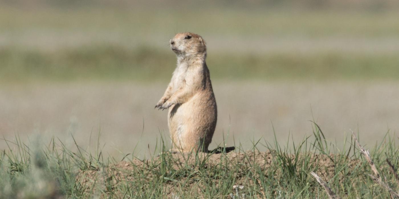
How Prairie Dogs and Grassland Birds Work Together for Survival ›
Prairie dogs play a critical role across the North American Great Plains, and researchers are learning every day just how much these industrious squirrels do for their neighbors.
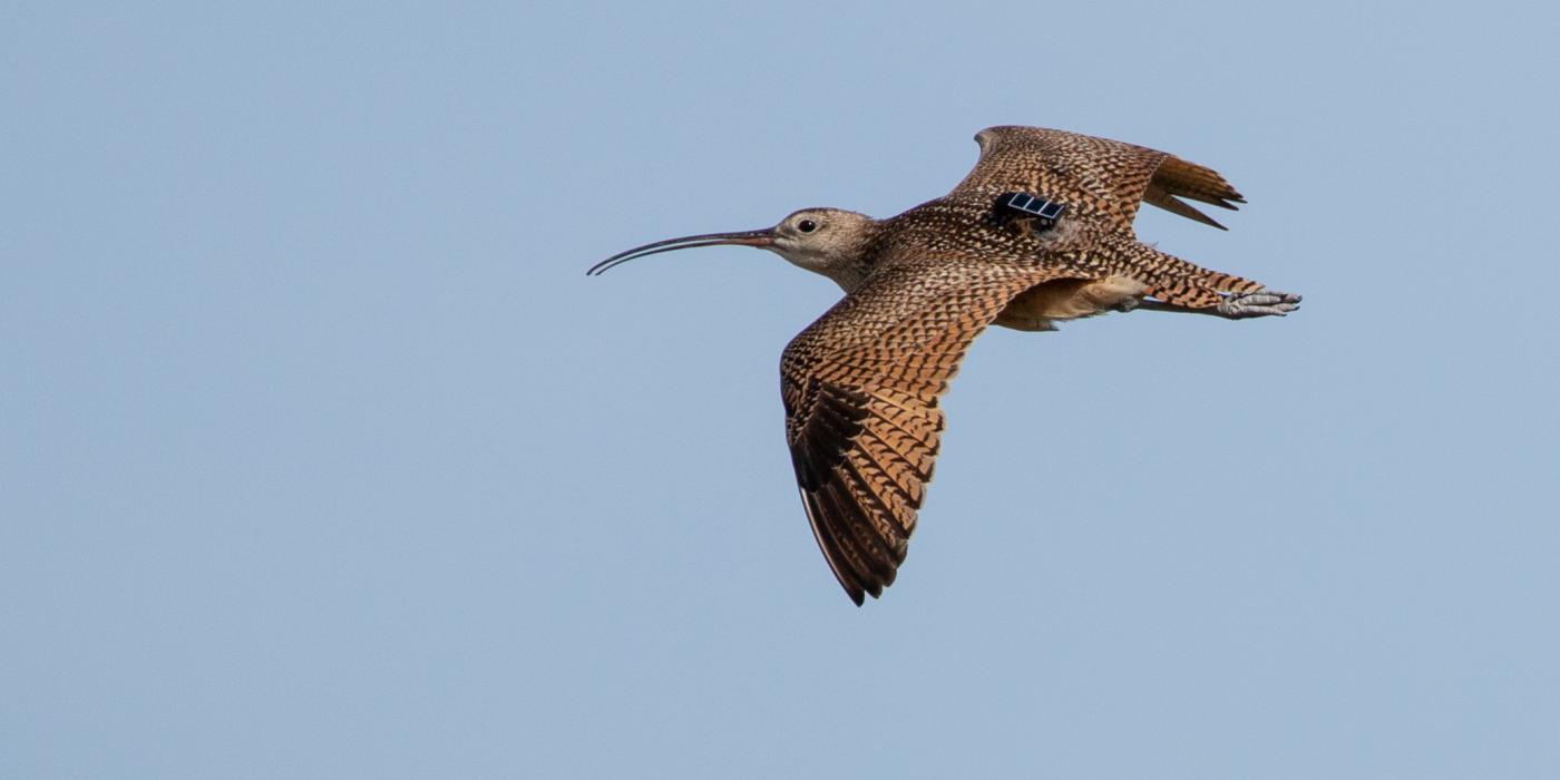
New Study Maps Curlew Flyways ›
Tracking data revealed three groups of long-billed curlew, each with unique migration patterns and conservation needs.

About SCBI
Founded in 1974 and headquartered in Front Royal, Virginia, the Smithsonian Conservation Biology Institute (SCBI) has celebrated many milestones: from black-footed ferret reintroductions to groundbreaking studies in genetics, reproductive biology, and species recovery.