Conserving Amazonian Tropical Ecosystems
Peru Wandari Biodiversity Program
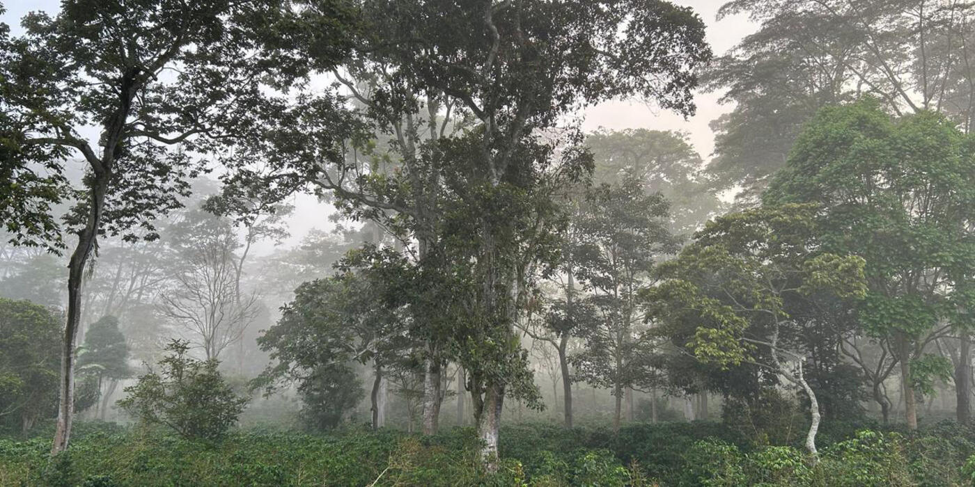
The Wandari Biodiversity Program is a collaborative conservation effort that focuses research on the Amarakaeri Communal Reserve and the surrounding areas in the Madre de Dios region of Peru. The program presents a unique opportunity to develop a Biodiversity Action Plan that can help manage the biodiversity aspects of the Wandari Project from the outset.
SCBI's Center for Conservation and Sustainability (CCS) is leading the conceptual design and implementation of the Wandari Biodiversity Action Plan (WBAP). The WBAP consists of an integrated strategy and actions for the implementation of best practices for the conservation of biodiversity during the exploration phase of the project. It also provides a framework for carrying out mitigation, including monitoring and managing actions for the project. CCS provides impartial, independent and transparent information on the biodiversity of the area.
The people of the Madre de Dios region are faced with choices that will generate consequences for years into the future. In the Peruvian Amazon of Madre de Dios, natural ecosystems provide valuable services that are essential to local people, including native communities. However, in the last decades, rapid regional development has become a major threat to the integrity of natural ecosystems, and thus to the benefits of local people. The ecosystem services assessment identifies potential scenarios for sustainable development. The exploration of future landscapes highlights alternatives and patterns that deepen the regional strategic thinking on conservation and development. Landscape scenarios also contribute to better dialogue about the collective challenges the region faces.
The WBAP research, conservation and sustainability activities include:
- Quantifying impacts of gas exploration activities on biodiversity by determining the effects of construction of an exploratory platform on a selected group of plant and animal species.
- Increasing the biological knowledge of the area by gathering valuable biological information for an understudied, but highly biodiverse, area.
- Assessing the value of ecosystem services by engaging local stakeholders in evaluating the role of ecosystem services in the study area.
- Using historical data to evaluate the drivers of change and their potential effects on the integrity of ecosystems and their services.
- Exploring future landscape scenarios in the region by identifying main drivers of landscape change, keeping in mind development projects planned for the region. CCS will develop possible future landscape scenarios and quantify their effects on ecosystems services.
- Providing recommendations to minimize impacts on biodiversity and ecosystems and improve operation practices based on information gathered in the field.
- Disseminating information generated by the program through engagement with local, national and international stakeholders.
Biodiversity Impact Quantification Research
- Determining changes in species richness, abundance and composition of targeted organisms: CCS assesses changes on a selected group of organisms by sampling them systematically at different distances from the natural gas exploratory platforms and at different stages of construction and operation. Targeted groups include: herbaceous vegetation, dung beetles, parasitic wasps, amphibians, birds and large mammals.
- Gathering diversity data on the ground for specific organisms: CCS uses diversity information of ferns, amphibians and birds to identify sensitive habitats in the area of study. In addition, CCS documents diversity information for species-rich groups such as trees, palms, reptiles and small mammals.
- Providing key information to enhance development practices: CCS provides information to the business partner to protect biological diversity, complementing the commitments of the Environmental Impact Assessment, and designing a monitoring program for biodiversity and ecosystem services.
Ecosystem Services Assessment Research
- Determining the importance and value of ecosystem services: Through participatory workshops and interviews with local stakeholders, CCS identifies ecosystem services that are essential to them such as freshwater, plants, animals, and the capacity of the landscape to maintain connectivity and long-term viability of important ecosystems.
- Assessing changes of key ecosystem services over time. Stakeholders contribute to determine how ecosystem services have changed over time.
- Quantifying current important ecosystem services. Using computer models and existing information, CCS quantifies the changes in ecosystems services and creates maps of areas where they are generated and used.
Landscape Scenario Planning Research
- Develop possible scenarios. Changes in the economy and ecosystems over the last decades are used to identify the main drivers of future changes. With these drivers and future potential development projects, CCS models landscape scenarios of possible and likely futures. These scenarios are simply a range of possible views of the future based on the decisions made today and they will not attempt to make formal predictions for the upcoming years.
- Generate how different landscapes will look. CCS generates future landscapes and evaluates the environmental consequences of each future scenario on the Madre de Dios ecosystems.
- Evaluate important ecosystem services for each future landscape. With the information on future landscapes, CCS mathematically determines any changes on the ecosystem services.
- Communicate results to stakeholders to inform decision making. The outcome of assessments will be evaluated with stakeholders to understand optimal conservation and development strategies.