Case Study: Scenario Planning in Northwestern Virginia
Challenge
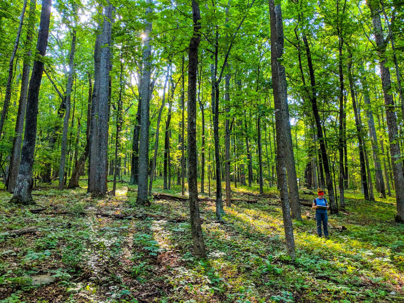
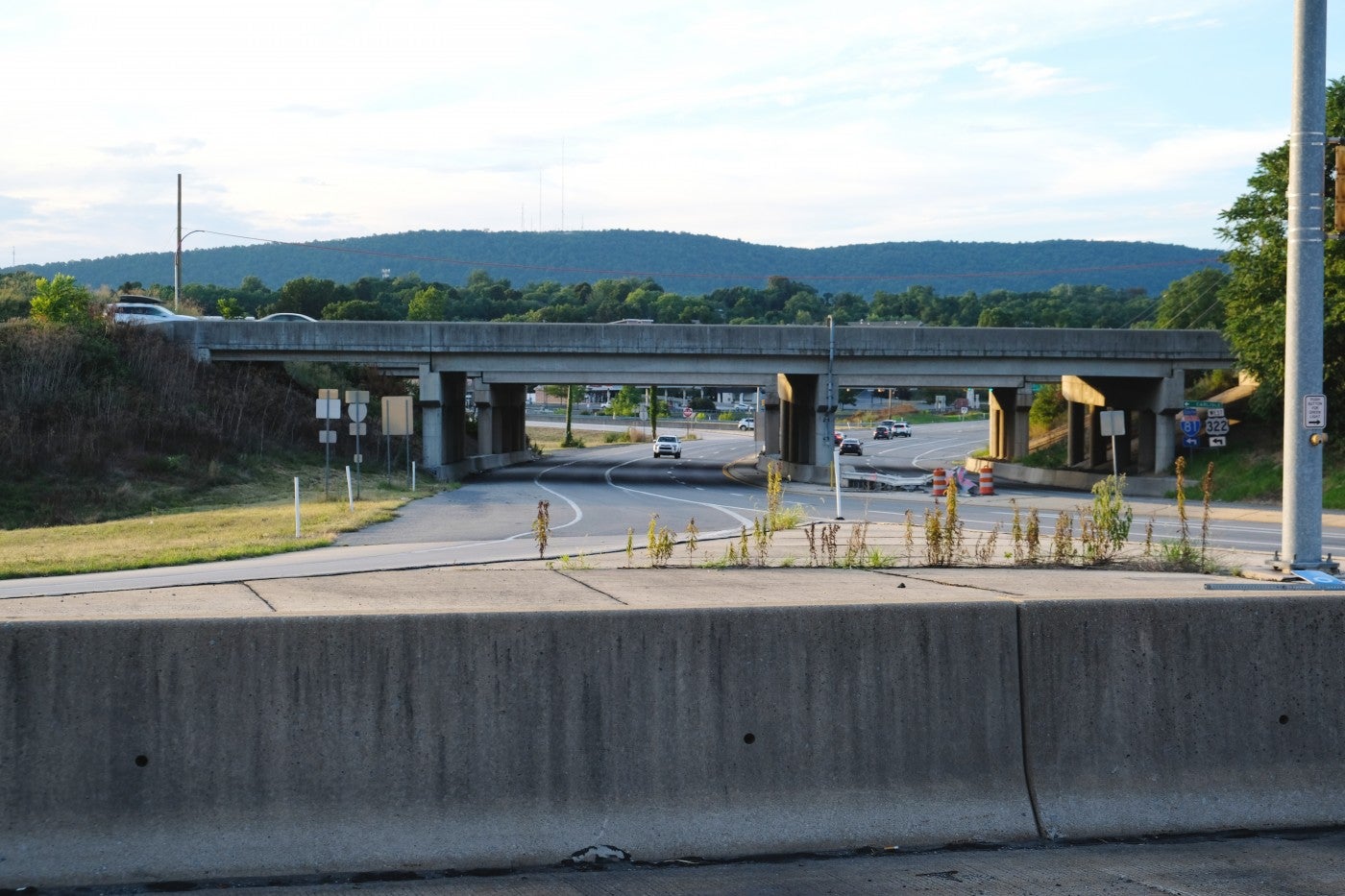
How can scientists produce research on environmental topics impacting local communities that decision makers in those communities can trust? In August 2016, scientists from the Changing Landscapes Initiative collaborated with community leaders in Northwestern Virginia to answer that question. This case study shows how CLI researchers combined community knowledge with scientific data to create a set of future scenarios designed to help planners make important land use choices.
Approach
For the Changing Landscapes Initiative, combining research and community wisdom means working with stakeholders to:
- Assess and prioritize regional needs, values, goals, and factors driving change
- Envision future scenarios and what life would look like in each scenario
- Produce land-use models, maps, and visualizations for each scenario
- Analyze the impacts on biodiversity and ecosystem services
- Use results to guide local and regional planning efforts
While scenarios are not predictions of the future, they can help communities prepare for the unexpected. They also help people relate to science and planning through storytelling.
Scenario Planning Workshops
Scenario planning workshops allow stakeholders to build connections and identify shared conservation and planning goals. They also help scientists gain important insights for their research.
CLI’s approach to scenario planning includes six main steps:
- Ask stakeholders to brainstorm the “drivers” that lead to changes in land use
- Rank those drivers based on their impact, and choose the two most important
- Define the “range of intensity” for each driver. For example, if one driver is population growth, the range may be low to high.
- Define four future scenarios based on the extremes of each driver.
- Create narratives that illustrate a life in each future scenario
- Estimate where and how much the important land uses will change
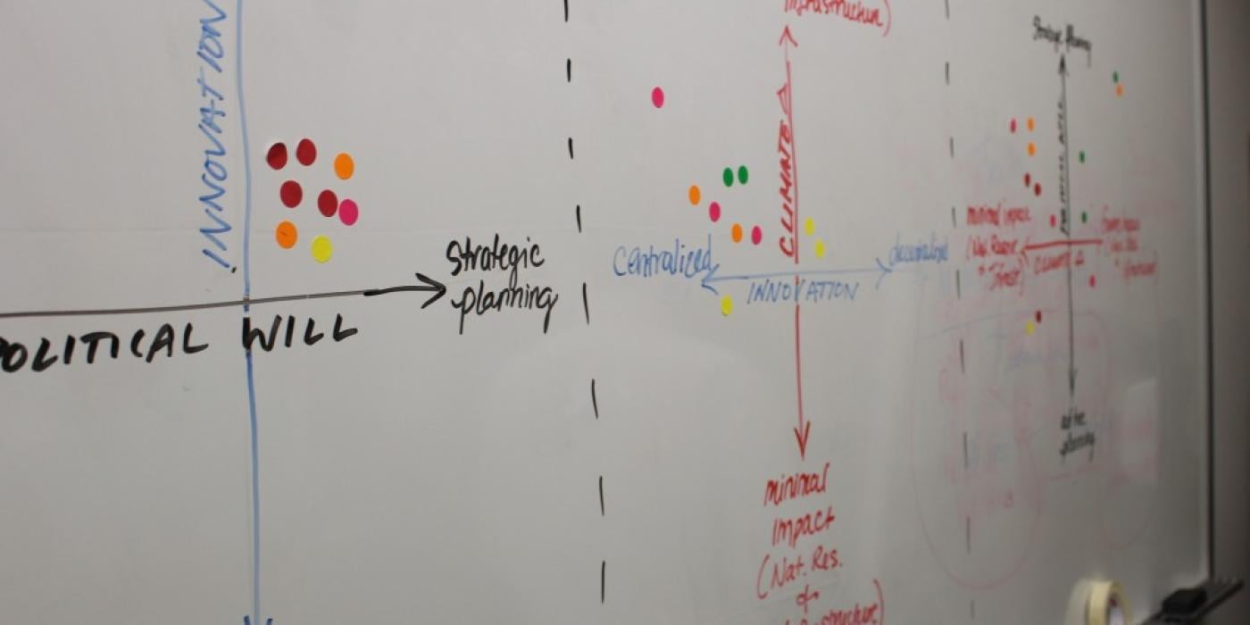
For this pilot study in Northwestern Virginia, CLI researchers held two workshops with more than 40 decision makers, planners, conservation leaders and community members.
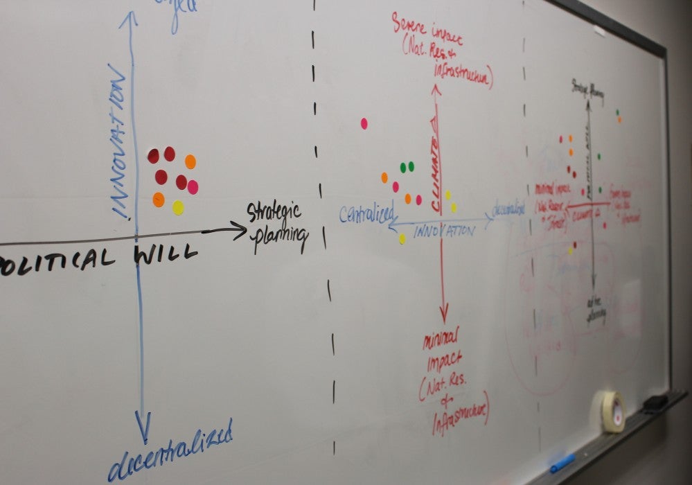
Participants were first shown a “business as usual” scenario, where historic trends continue. Then, they were asked to identify the two most influential drivers of change in Northwestern Virginia. They chose:
- Political will for coordinated land-planning decisions
- Population growth from a slow to significant influx of new residents
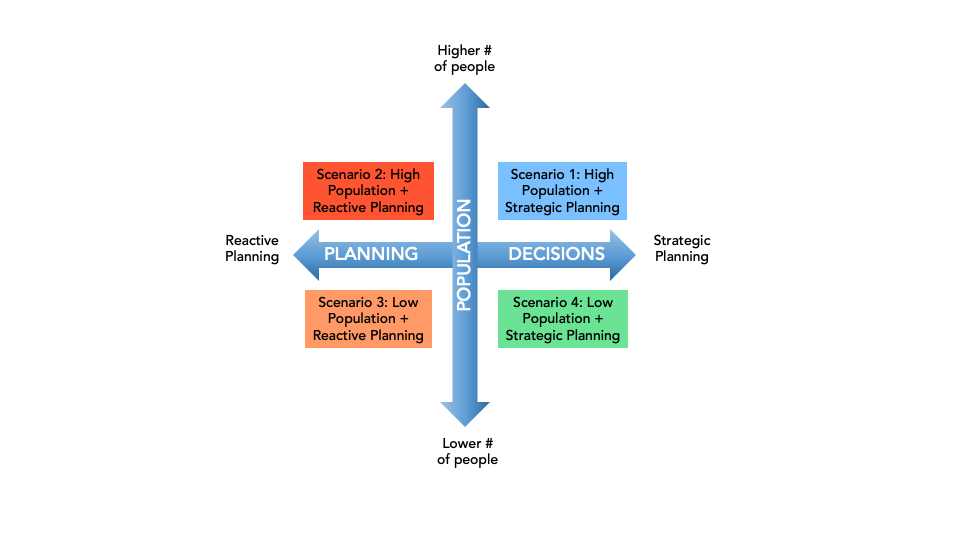
Participants then developed scenarios using the intersections of these two drivers of change. Their four different scenarios illustrate what Northwestern Virginia could look like in 2061.
Participants also wrote narratives for each scenario. These short stories connect events, thoughts and feelings to paint a picture of what a future Northwestern Virginia could look like with different planning strategies.
Results
Scenario 1: High Population + Strategic Planning
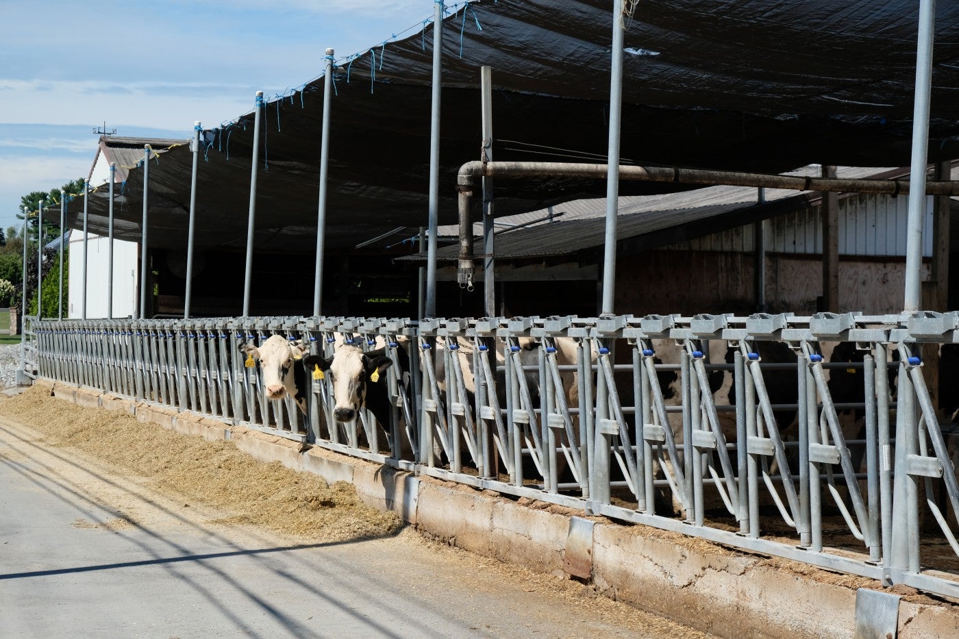
Population growth is high and the political will to coordinate land planning decisions that conserve the landscape is strong. New development is focused near existing city centers. This limits suburban sprawl and the environmental consequences that come with it. Family-owned and operated farms, orchards, vineyards, and ranches are maintained or increased. This scenario envisions a thriving local economy that does not sacrifice the region’s beauty and culture.
Narrative
“Strong long-term planning and minimal climate impacts have led to the creation of new jobs, centralization of growth in urban cores, protection of natural environments and working landscapes, development of integrative transportation networks, dispersal of energy production, removal of power lines and pipelines, and creation of sustainable wildlife habitat.”
Scenario 2: High Population + Reactive Planning
Development sprawls along roadways and encroaches upon scenic rural areas. This increases forest loss and habitat fragmentation, impacting the landscape’s environmental health and character.
Narrative
“With increased pressures on resources, ecological resilience has plummeted. Water has become incredibly expensive, costs of services have gone up, farmers have faced new challenges, and there has been an overall drop in the economy and industries.”
Scenario 3: Low Population + Reactive Planning
Younger generations move from rural areas to larger cities. Fewer people live in rural areas, and there is a low political will to coordinate land-planning decisions. This opens opportunities for harmful practices, such as intensive monoculture (large-scale farming operations of one main crop) and logging. This provides little return to the community and reduces water quality, scenic beauty, forest health, and agricultural productivity for generations to come.
Narrative
“I am so fed up. We are in a difficult situation, but we should be sticking together and the people should be protected. We don’t have access to clean water on a regular basis, and it is too expensive to go find it elsewhere. People are moving out of the region, but not everyone can afford to pack up their entire family and just leave. Since there are less people here, there’s also less revenue so we don’t have much advancement or upgrading going on.”
Scenario 4: Low Population + Strategic Planning
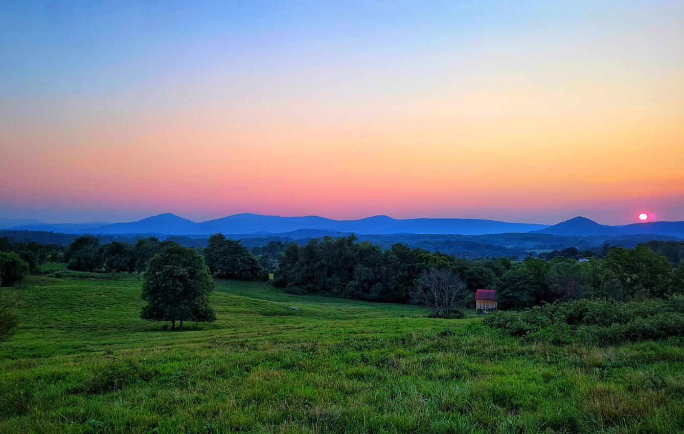
People are moving from rural areas toward city centers, which decreases the need for new infrastructure. Remaining community members have enough political will for strategic planning to conserve the landscape. As a result, Northwest Virginia keeps its open spaces, forests and family farms, and creates opportunities for ecotourism.
Narrative
“The Shenandoah Valley region as a whole had not seen very much land conversion to development, allowing for continued green spaces and agricultural viability. A small portion of forest was converted to residential development to support commuters to Northern Virginia, but no agricultural land had been converted due to high demand.”
Co-developing the Future
After completing the workshops, CLI researchers created land-use models and visualizations based on the four scenarios participants developed. Together, these resources will help guide future planning efforts in Northwestern Virginia.
Scenario planning helps communities anticipate different futures, create resilient long-term plans, and quickly respond to unexpected changes. Scientific data without a relatable story is often overlooked, but effective scenario planning combined with strong science communication leads to relevant stories that can excite, inspire and move the public.