Giraffe Conservation
Giraffes were once widespread across much of sub-Saharan Africa but now face considerable threats to a sustainable future in the wild. Because giraffes occupy diverse habitats, land-use systems and sociopolitical environments, they face many challenges. Conservation Ecology Center researchers are working collaboratively with a growing network of NGOs, academics, and range-state governments to address key gaps in knowledge and to develop science-based solutions for giraffe conservation across Africa.
Giraffe Population Monitoring
To design and implement effective conservation strategies, researchers first need to understand the population size and distribution of giraffes across Africa. Aerial surveys are a useful tool for rapidly assessing how many giraffes live in a large area. Working with local organizations and using cutting-edge analytical approaches, CEC researchers help provide this critical data. They want to know how land-use and human infrastructure, such as fencing, might impact giraffe distribution and connectivity across multiple-use landscapes, or areas where people and wildlife coexist.
Studying Giraffe Movement
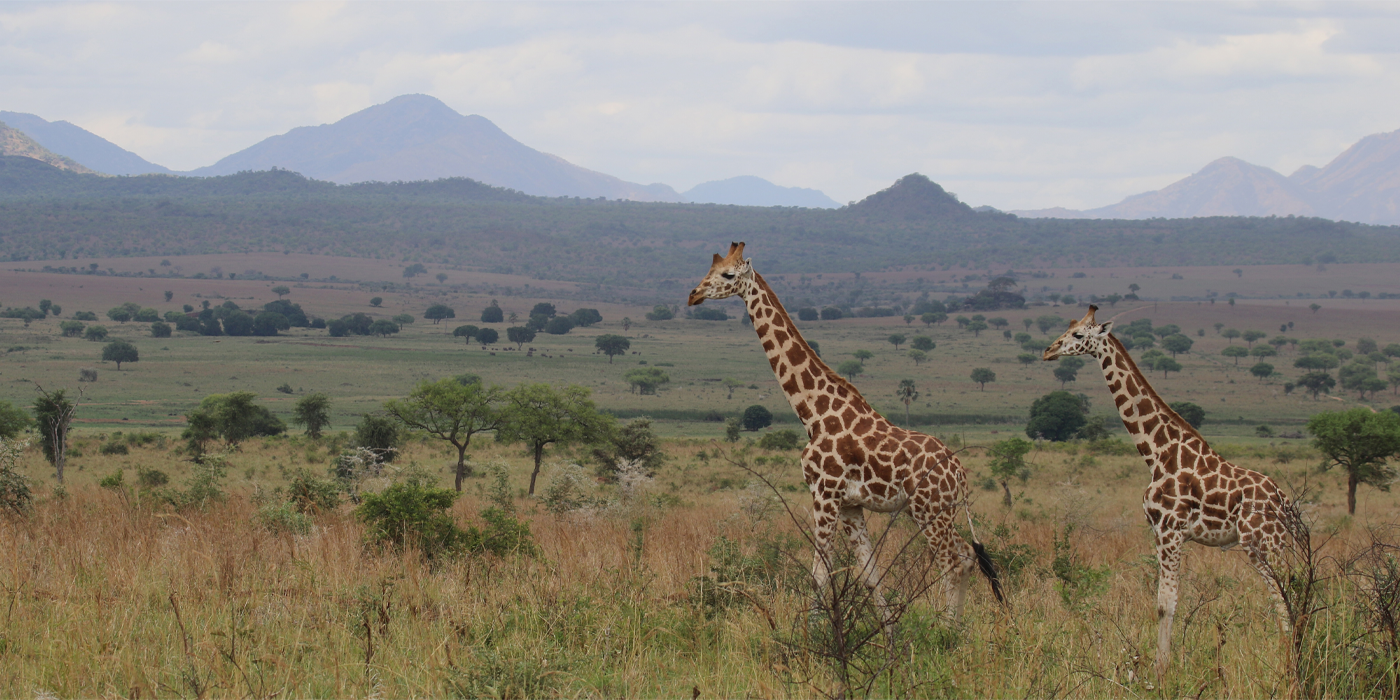
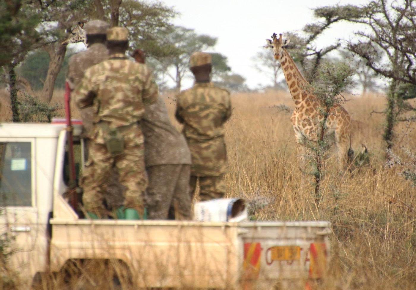
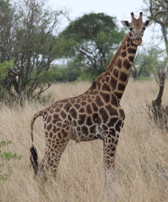
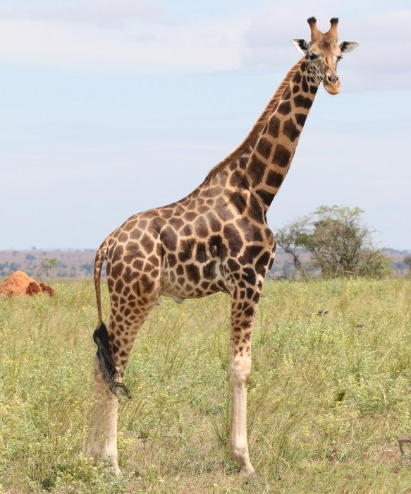
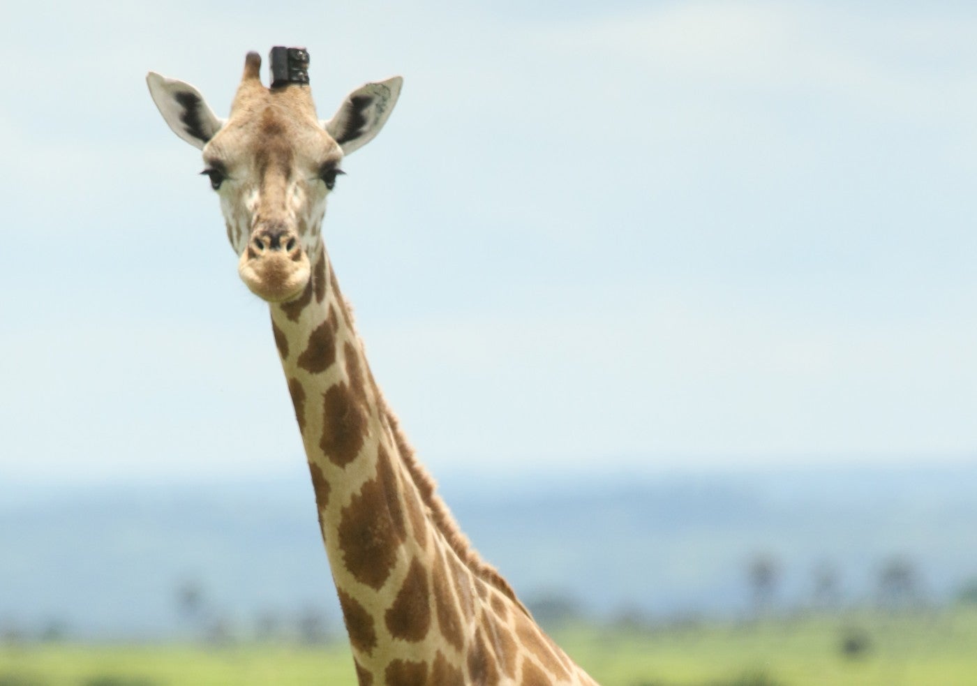
Giraffes live in a wide range of habitats, from the extremely dry deserts of northwest Namibia and the mesic savannahs (with sparse trees and moderate moisture) of northwest Uganda to the semi-arid scrub of northern Kenya and Sahel of Niger. One of the flagship components of this conservation program is the Twiga Tracker, an ambitious, continental-scale study of giraffes' spatial ecology and movement decisions across these diverse habitats. Over four years, a network of researchers led by the Giraffe Conservation Foundation equipped giraffes with GPS units to track their movements in nine countries. More than 200 giraffes, encompassing all giraffe species, are now equipped with the specially designed GPS units.
Researchers can also use data on giraffe movement patterns to identify key resources and habitat features throughout their range. Using cutting-edge geospatial analyses, Conservation Ecology Center researchers are learning how animals navigate their environments and how different landscape features can impact their patterns of space-use.
The volume of data collected from these GPS units requires specialized data management systems, so scientists are developing platforms that will allow local collaborators to process data and visualize giraffe locations in real-time.
The strength of this initiative is rooted in international collaboration and knowledge sharing. Drawing from a range of scientific disciplines, researchers incorporate the latest perspectives on ecology, human dimensions, wildlife health and genetics into a holistic understanding of giraffe conservation science. Through a series of symposia, they are developing ambitious research agendas to provide the knowledge required to conserve giraffes in rapidly changing environments.
This project is a collaboration with Giraffe Conservation Foundation as well as local governments and organizations within giraffe range states that help turn science into conservation action.